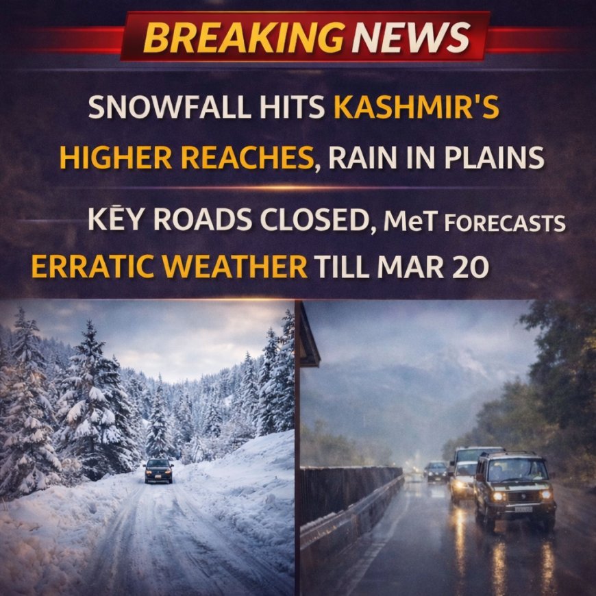
Light rain and fresh snowfall continued to impact several regions of Jammu and Kashmir, as a western disturbance remained active over the Himalayan belt. Weather officials have indicated that unsettled conditions are likely to persist, bringing further precipitation over the coming days.
According to the India Meteorological Department, higher altitude areas across the Kashmir Valley received light to moderate snowfall, while plains witnessed steady rainfall. Popular tourist destinations like Sonamarg and Gulmarg were among the regions affected, with snow accumulation reported in upper reaches.
Meteorological Centre Director Mukhtar Ahmad stated that the current weather system is expected to remain active until Sunday. He added that most places may experience intermittent light rain or thundershowers, particularly during morning and evening hours, along with gusty winds reaching speeds of 40–50 kmph.
Independent weather observer Faizan Arif noted intense snowfall at Razdan Top and fresh snow activity in the Machil sector of Kupwara. Snowfall was also reported along the Sonamarg–Minamarg axis, affecting movement in high-altitude routes.
Rainfall data highlighted varying precipitation levels across the region. Srinagar recorded 6.6 mm of rainfall over two days, while Qazigund received 4.8 mm. Kupwara registered 12.2 mm, and Gulmarg topped the chart with 13.6 mm of precipitation, reflecting the intensity of the ongoing weather activity.
Authorities have advised travelers and locals to remain cautious, particularly in hilly and snowbound areas, where slippery roads and reduced visibility may pose risks. Farmers and orchardists have also been alerted to possible hailstorms and strong winds that could impact crops.
Looking ahead, weather conditions are expected to gradually improve after Sunday, although isolated rain or snow showers cannot be ruled out in higher elevations. Until then, cloudy skies and cool temperatures will continue to dominate the region, maintaining a wintry feel across much of Jammu and Kashmir.
 Ellofacts